Geofences are virtual boundaries you place on the map to track equipment around real locations. They help your team know when assets enter, leave, or remain at job sites, yards, and other important areas.
What is a Geofence?
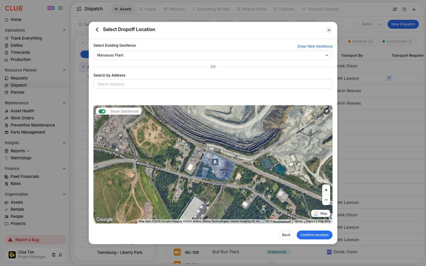
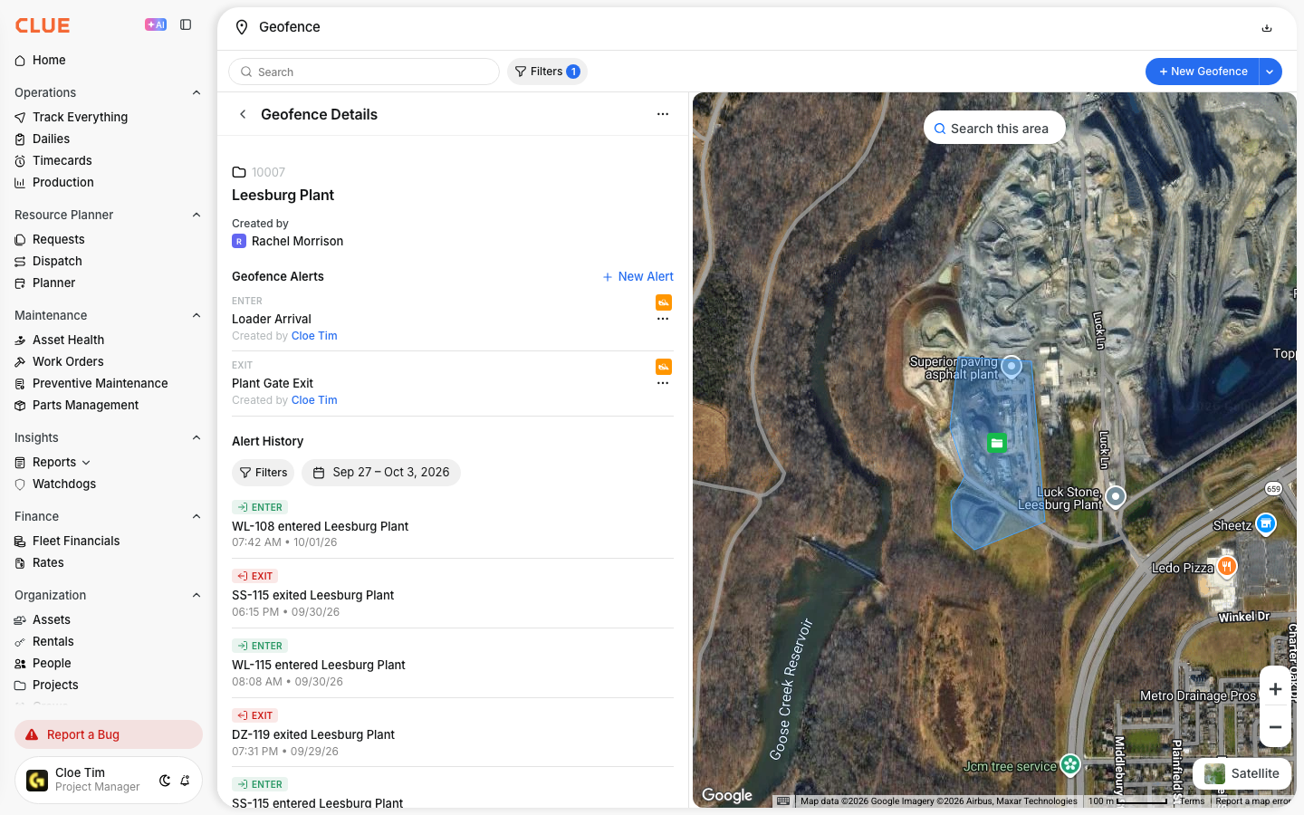
A geofence is a boundary drawn around a real-world location inside CLUE. It is usually shown as a shape on the map, can include a name and description, and can be used to trigger alerts when tracked equipment crosses that boundary.
Geofences work well with Track Everything, Creating a New Geofence, and Understanding Geofence Alerts because they connect location tracking with real project and yard boundaries.
Common Uses
Geofences are most useful when your team wants location data tied to a meaningful place. Instead of only seeing GPS points on a map, you can track equipment against the sites and boundaries that matter to your operation.
Common uses include:
- Job Sites - track which equipment is on site
- Equipment Yards - see when assets leave or return
- Restricted Areas - flag movement into no-go zones
- Customer Sites - track time spent at customer locations

Geofence Alerts
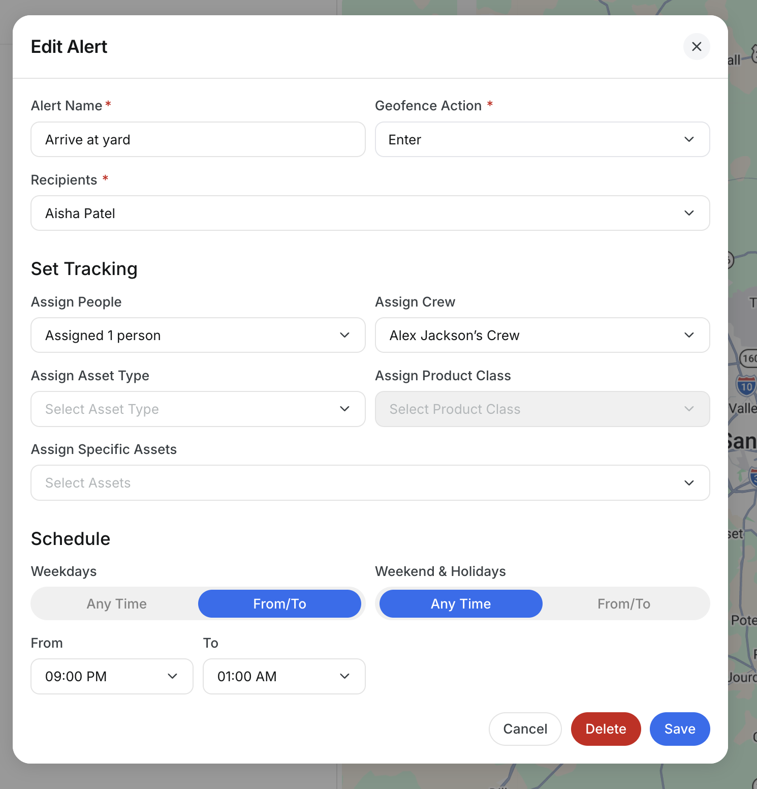
Geofence alerts help your team respond when equipment crosses a boundary. These alerts are useful for daily operations, after-hours monitoring, and keeping track of important asset movement.
CLUE can notify you when:
- an asset enters a geofence
- an asset leaves a geofence
- an asset remains inside a geofence longer than expected
Alert setup can also include selected geofences, selected assets, time windows, and delivery methods like push, email, or in-app notifications.

Benefits
Geofences make location data easier to use because they connect movement to a place your team already cares about. This gives dispatch, operations, and project teams a clearer picture of where equipment is working and how it is being used.
Some of the main benefits are:
- know where equipment is relative to projects
- reduce unauthorized use
- improve dispatch visibility
- track utilization by site or location

Tips
A simple geofence setup is usually the easiest to manage. Clear names and practical boundaries make alerts easier to understand and make map views more useful later.
- create geofences for active job sites and yards
- leave a small buffer around the real boundary when needed
- use names that match your project naming style
- review exit alerts and location activity in Asset Insights or Track Everything